
Join City, County, and State Leadership at the floodplain open house on Wednesday, August 26th, 2026 between 2:00pm - 6:30pm at The Hangar located at 126 N Main St in Kingman.
General Information:
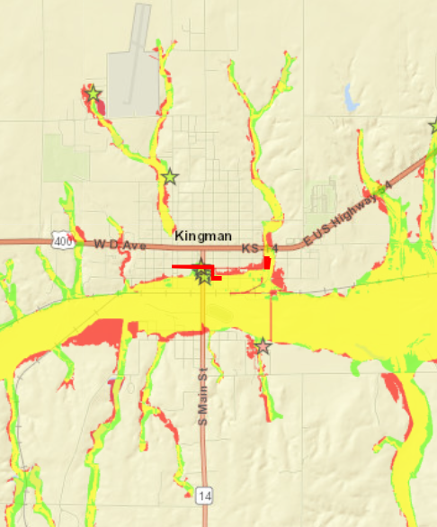
Thank you for taking the time to understand floodplain mapping changes that are underway in Kingman County and how those changes affect you. It is important to note that this mapping is not yet regulatory, but in some cases may be usable as best available data. The mapping is currently in Draft, and we anticipate issuing Preliminary maps around September 2027. We estimate the effective mapping date to be in the fall 2029 timeframe. While the maps are in Draft, an informal public comment period has been initiated. Please submit any comments to your Floodplain Administrator or the State Floodplain Mapping Coordinator (flip sheet over for contact information) by September 26, 2026. All comments will be compiled and provided to the State for review.
Where can I go to find out more?
-Search your address and view how the floodplains affect your property:
https://gis2.kda.ks.gov/gis/kingman
-Learn more about this floodplain mapping project:
-Believe you have been incorrectly identified as in the Special Flood Hazard Area? You can learn more about the Letter of Map Change (LOMC) process by visiting the site below. LOMC applications to revise this draft mapping will need to wait until they are the effective regulatory mapping.
https://www.fema.gov/letter-map-changes
- In areas where the effective map does not have published Base Flood Elevations (BFEs), this draft mapping can be used as best available data in LOMC applications. Request a BFE at: https://maps.kgs.ku.edu/fpm_bfe/home.cfm
-Learn more about flood insurance and the National Flood Insurance Program:
https://www.fema.gov/national-flood-insurance-program
-Need a surveyor?